
Haz una donación
Mapa topográfico Khardung La
Haga clic en el mapa para ver la altitud.
Haz una donación
Khardung La
The elevation of Khardung La is 5,359 m (17,582 ft). Local summit signs and dozens of stores selling shirts in Leh incorrectly claim that its elevation is in the vicinity of 5,602 m (18,379 ft)} and that it is the world's highest motorable pass. But in 2013-2014, Chisumle-Demchok Road via Umling La (19,300 ft), which is one of the India-China Border Roads built as a part of Project Himank by BRO, surpassed Khardung La in elevation to become the world's highest motorable pass.
Haz una donación
Acerca de este mapa
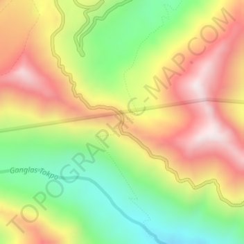
Nombre: Mapa topográfico Khardung La, altitud, relieve.
Lugar: Khardung La, Leh Tehsil, Leh, Ladakh, India (34.27861 77.60464 34.27871 77.60474)
Altitud media: 5.235 m
Altitud mínima: 4.865 m
Altitud máxima: 5.628 m
Haz una donación
Otros mapas topográficos
Haga clic en un mapa para ver su topografía, su altitud y su relieve.