
Mapa topográfico Koyo Zom
Haga clic en el mapa para ver la altitud.
Acerca de este mapa
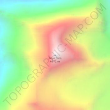
Nombre: Mapa topográfico Koyo Zom, altitud, relieve.
Altitud media: 5.925 m
Altitud mínima: 5.096 m
Altitud máxima: 6.835 m
Otros mapas topográficos
Haga clic en un mapa para ver su topografía, su altitud y su relieve.
Mastuj Tehsil
Pakistan > Khyber Pakhtunkhwa > Chitrāl District
Mastuj (Urdu: مستوج) is a tehsil of Upper Chitral District in Khyber-Pakhtunkhwa province of Pakistan; Mastuj is the principal settlement. It is located at 36°17'0N 72°31'0E with an altitude of 2359 metres (7742 feet). There are ruins of old fort built originally in 18th century and reconstructed several times.
Altitud media: 4.143 m
Drosh Tehsil
Pakistan > Khyber Pakhtunkhwa > Chitrāl District
Khowar is by the majority of the people in Drosh with a few speakers of Pashto. Drosh is low elevation and is a large village in Chitral District on the traditional trade route to Drosh-Jalalabad Road.
Altitud media: 3.012 m
Upper Gazikistan Glacier
Pakistan > Khyber Pakhtunkhwa > Chitrāl District > Chitral Tehsil
Altitud media: 5.086 m
Bamburait River
Pakistan > Khyber Pakhtunkhwa > Chitrāl District > Chitral Tehsil
Altitud media: 2.999 m