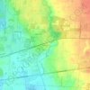
Mapa topográfico New Albany
Haga clic en el mapa para ver la altitud.
New Albany
New Albany is located in northeastern Franklin County at 40°4′43″N 82°49′14″W / 40.07861°N 82.82056°W / 40.07861; -82.82056 (40.078643, −82.820618), with a portion extending east into Licking County. It is northeast of Columbus at an elevation of 1,024 feet (312 m).
Acerca de este mapa
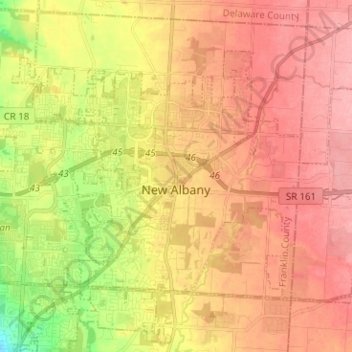
Nombre: Mapa topográfico New Albany, altitud, relieve.
Altitud media: 315 m
Altitud mínima: 254 m
Altitud máxima: 354 m
Otros mapas topográficos
Haga clic en un mapa para ver su topografía, su altitud y su relieve.

Columbus
United States > Ohio > Franklin County > Columbus
The confluence of the Scioto and Olentangy rivers is just north-west of Downtown Columbus. Several smaller tributaries course through the Columbus metropolitan area, including Alum Creek, Big Walnut Creek, and Darby Creek. Columbus is considered to have relatively flat topography thanks to a large glacier that…
Altitud media: 255 m