
Gracias por apoyar a este sitio ❤️
Haz una donación
Haz una donación
Mapa topográfico Ibapah
Haga clic en el mapa para ver la altitud.
Gracias por apoyar a este sitio ❤️
Haz una donación
Haz una donación
Ibapah
The climate is typical of that of a high elevation Great Basin location, being semi-arid and featuring, in consequence, large differences in temperature between day and night.
Gracias por apoyar a este sitio ❤️
Haz una donación
Haz una donación
Acerca de este mapa
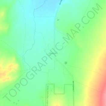
Nombre: Mapa topográfico Ibapah, altitud, relieve.
Lugar: Ibapah, Tooele County, Utah, United States (40.01733 -114.00426 40.05733 -113.96426)
Altitud media: 1.623 m
Altitud mínima: 1.593 m
Altitud máxima: 1.679 m
Gracias por apoyar a este sitio ❤️
Haz una donación
Haz una donación
Otros mapas topográficos
Haga clic en un mapa para ver su topografía, su altitud y su relieve.