
Gracias por apoyar a este sitio ❤️
Haz una donación
Haz una donación
Mapa topográfico Fairhope
Haga clic en el mapa para ver la altitud.
Gracias por apoyar a este sitio ❤️
Haz una donación
Haz una donación
Fairhope
According to the U.S. Census Bureau, the city has a total area of 12.0 square miles (31.1 km2), of which 0.019 square mile (0.05 km2), or 0.16%, is water. Its elevation ranges from sea level at the bay to 122 feet (37 m) in the city center.
Gracias por apoyar a este sitio ❤️
Haz una donación
Haz una donación
Acerca de este mapa
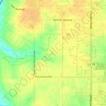
Nombre: Mapa topográfico Fairhope, altitud, relieve.
Lugar: Fairhope, Baldwin County, Alabama, United States (30.50743 -87.89792 30.50830 -87.89704)
Altitud media: 35 m
Altitud mínima: 13 m
Altitud máxima: 45 m
Gracias por apoyar a este sitio ❤️
Haz una donación
Haz una donación