
Mapa topográfico Gangtok
Haga clic en el mapa para ver la altitud.
Gangtok
Gangtok (Nepali: gāntok, pronounced [gantok], Sikkimese: [ɡaŋt̪ʰòk]) is the capital and the most populous city of the Indian state of Sikkim. The seat of eponymous district, Gangtok is in the eastern Himalayan range, at an elevation of 1,650 m (5,410 ft). The city's population of 100,000 consists of the three Sikkimese ethnicities: the Bhutias, Lepchas, Nepalis as well as plainsmen from other states of India. Within the higher peaks of the Himalayas and with a year-round mild temperate climate, Gangtok is at the centre of Sikkim's tourism industry.
Acerca de este mapa
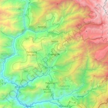
Nombre: Mapa topográfico Gangtok, altitud, relieve.
Lugar: Gangtok, Gangtok subdivision, Gangtok, Sikkim, 737101, India (27.16905 88.45227 27.48905 88.77227)
Altitud media: 1.911 m
Altitud mínima: 283 m
Altitud máxima: 5.193 m
Otros mapas topográficos
Haga clic en un mapa para ver su topografía, su altitud y su relieve.