
Gracias por apoyar a este sitio ❤️
Haz una donación
Haz una donación
Mapa topográfico Amarnath Cave Temple
Haga clic en el mapa para ver la altitud.
Gracias por apoyar a este sitio ❤️
Haz una donación
Haz una donación
Amarnath Cave Temple
Amarnath Temple is a Hindu shrine located in the Pahalgam tehsil of the Anantnag district of Jammu and Kashmir, India. It is a cave situated at an altitude of 3,888 m (12,756 ft), about 168 km from Anantnag city, the district headquarters, 141 km (88 mi) from Srinagar, the summer capital of Jammu and Kashmir, reached through either Sonamarg or Pahalgam. It is an important shrine in Hinduism.
Gracias por apoyar a este sitio ❤️
Haz una donación
Haz una donación
Acerca de este mapa
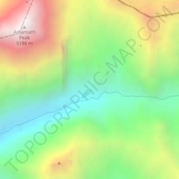
Nombre: Mapa topográfico Amarnath Cave Temple, altitud, relieve.
Altitud media: 4.325 m
Altitud mínima: 3.719 m
Altitud máxima: 5.200 m
Gracias por apoyar a este sitio ❤️
Haz una donación
Haz una donación