
Gracias por apoyar a este sitio ❤️
Haz una donación
Haz una donación
Mapa topográfico Phu Ruea
Haga clic en el mapa para ver la altitud.
Gracias por apoyar a este sitio ❤️
Haz una donación
Haz una donación
Phu Ruea
The Phu Ruea High Altitude Agricultural Research Station is on the mountain and Phu Ruea National Park encompasses the peak. The park borders Sainyabuli province in Laos at its northern end. Most of the mountain is covered in mixed evergreen forest. The area around the mountain is part of the Luang Prabang montane rain forests ecoregion.
Gracias por apoyar a este sitio ❤️
Haz una donación
Haz una donación
Acerca de este mapa
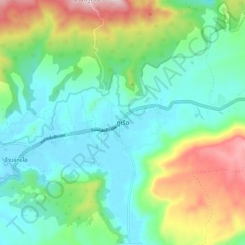
Nombre: Mapa topográfico Phu Ruea, altitud, relieve.
Lugar: Phu Ruea, Loei Province, 42160, Thailand (17.41170 101.32196 17.49170 101.40196)
Altitud media: 752 m
Altitud mínima: 600 m
Altitud máxima: 1.130 m
Gracias por apoyar a este sitio ❤️
Haz una donación
Haz una donación