
Gracias por apoyar a este sitio ❤️
Haz una donación
Haz una donación
Mapa topográfico Oreshek
Haga clic en el mapa para ver la altitud.
Gracias por apoyar a este sitio ❤️
Haz una donación
Haz una donación
Acerca de este mapa
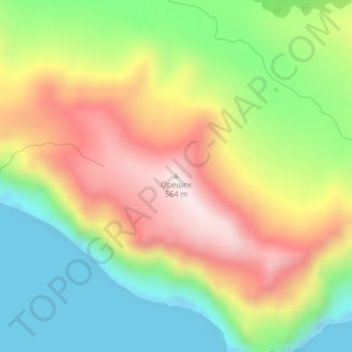
Nombre: Mapa topográfico Oreshek, altitud, relieve.
Altitud media: 253 m
Altitud mínima: -11 m
Altitud máxima: 558 m
Gracias por apoyar a este sitio ❤️
Haz una donación
Haz una donación
Otros mapas topográficos
Haga clic en un mapa para ver su topografía, su altitud y su relieve.
Urup
Russia > Sakhalin Oblast > Kurilsky District
Nicolson, energetic and thorough, initiated a hydrographic survey, ordered topographic observations, and named prominent points. The central event during their stay at Urup was the annexation on 2 September 1855. Details of the proceedings, preserved in Nicolson's dispatch, highlighted the allies' declaration…
Altitud media: 54 m