
Haz una donación
Mapa topográfico Askham Bog Nature Reserve
Haga clic en el mapa para ver la altitud.
Haz una donación
Askham Bog Nature Reserve
However, subsequent colonization by common reed, whose fossilized root fragments have been found immediately above the nekron mud layer, lead to a reduced extent of open water. In turn, a layer of fen peat gradually accumulated above the mud in the bog centre to begin forming a raised bog. The increased elevation of the central peat mound began to cut off the direct influx of base-rich waters into the bog from the surrounding land and existing bases in the raised peat were leached out through rainfall. Therefore, net loss of bases from the peat in the centre of the bog gradually led to increased soil acidity, with loss of the original rich fen community which previously covered the whole area.
Haz una donación
Acerca de este mapa
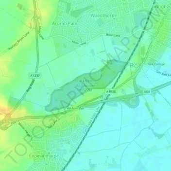
Nombre: Mapa topográfico Askham Bog Nature Reserve, altitud, relieve.
Altitud media: 16 m
Altitud mínima: 7 m
Altitud máxima: 33 m
Haz una donación