
Gracias por apoyar a este sitio ❤️
Haz una donación
Haz una donación
Mapa topográfico St. Leonhardsquelle
Haga clic en el mapa para ver la altitud.
Gracias por apoyar a este sitio ❤️
Haz una donación
Haz una donación
Acerca de este mapa
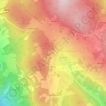
Nombre: Mapa topográfico St. Leonhardsquelle, altitud, relieve.
Altitud media: 808 m
Altitud mínima: 526 m
Altitud máxima: 977 m
Gracias por apoyar a este sitio ❤️
Haz una donación
Haz una donación