
Mapa topográfico Yamuna River
Mapa interactivo
Haga clic en el mapa para ver la altitud.
Acerca de este mapa
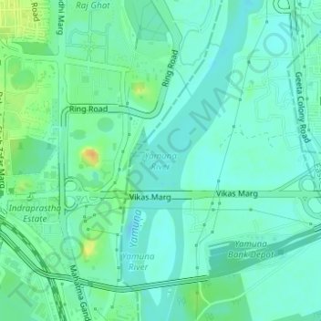
Nombre: Mapa topográfico Yamuna River, altitud, relieve.
Altitud media: 206 m
Altitud mínima: 197 m
Altitud máxima: 229 m
The source of Yamuna lies in the Yamunotri Glacier at an elevation of 6,387 metres (20,955 ft), on the south-western slopes of Banderpooch peaks, which lie in the Mussoorie range of the Lower Himalayas, north of Haridwar in Uttarkashi district, Uttarakhand. Yamunotri temple, a shrine dedicated to the goddess Yamuna, is one of the holiest shrines in Hinduism, and part of the Chota Char Dham Yatra circuit. Also standing close to the temple, on its 13-kilometre (8 mi) trek route that follows the right bank of the river, lies Markendeya Tirtha, where the sage Markandeya wrote the Markandeya Purana.