
Gracias por apoyar a este sitio ❤️
Haz una donación
Haz una donación
Mapa topográfico Roswell Lake Dam
Haga clic en el mapa para ver la altitud.
Gracias por apoyar a este sitio ❤️
Haz una donación
Haz una donación
Acerca de este mapa
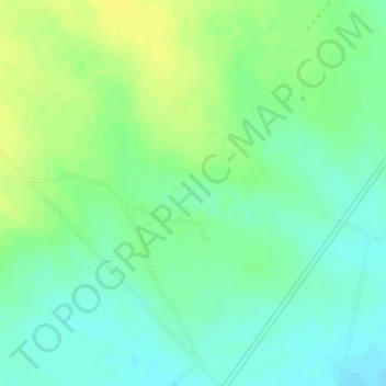
Nombre: Mapa topográfico Roswell Lake Dam, altitud, relieve.
Lugar: Roswell Lake Dam, Maverick County, Texas, United States (28.93353 -100.27206 28.93363 -100.27196)
Altitud media: 241 m
Altitud mínima: 232 m
Altitud máxima: 251 m
Gracias por apoyar a este sitio ❤️
Haz una donación
Haz una donación
Otros mapas topográficos
Haga clic en un mapa para ver su topografía, su altitud y su relieve.