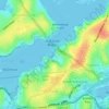
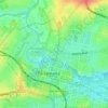
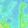
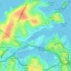
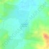
Mapa topográfico Mount Kuring-Gai
Haga clic en el mapa para ver la altitud.
Mount Kuring-Gai
Mount Kuring-gai is located approximately 7 km north of Hornsby. Its neighbouring suburbs are Berowra to the north, and Mount Colah to the south. Surrounded by bushland, it is bordered by Ku-ring-gai Chase National Park on the eastern side and by Berowra Valley Regional Park on the western side. There are several bushwalks starting in the suburb including the Great North Walk and a path to Apple Tree Bay. Mount Kuring-gai varies in altitude from about 57 m to 214–221 m above sea level.
Acerca de este mapa

Nombre: Mapa topográfico Mount Kuring-Gai, altitud, relieve.
Altitud media: 133 m
Altitud mínima: -2 m
Altitud máxima: 229 m
Otros mapas topográficos
Haga clic en un mapa para ver su topografía, su altitud y su relieve.