
Mapa topográfico Vandalur
Mapa interactivo
Haga clic en el mapa para ver la altitud.
Vandalur
Vandalur hill is part of Arignar Anna Zoological Park and public entry to the hill is restricted. The hilltop provides a good view of the OMR and Mannivakam. The Tamil Nadu Forest department has a sapling center under the foothill of Vandalur hill. The run has a total ascent of 274.99 ft and has a maximum elevation of 484.97 ft.
Acerca de este mapa
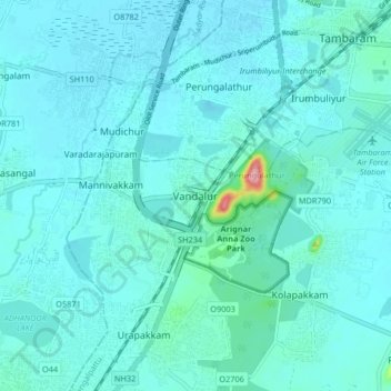
Nombre: Mapa topográfico Vandalur, altitud, relieve.
Altitud media: 27 m
Altitud mínima: 13 m
Altitud máxima: 160 m