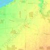
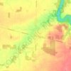
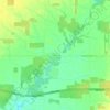
Mapa topográfico Sarnia
Haga clic en el mapa para ver la altitud.
Sarnia
Sarnia is located on the eastern shore of Lake Huron at its extreme southern point, where it flows into the St. Clair River. Most of the surrounding area is flat, and the elevation ranges from 169 metres (554 ft) and 281 metres (922 ft) above sea level. The soil mostly comprises clay. Despite this high percentage of clay, the soil is remarkably rich for cultivation.
Acerca de este mapa
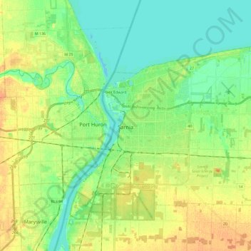
Nombre: Mapa topográfico Sarnia, altitud, relieve.
Altitud media: 186 m
Altitud mínima: 173 m
Altitud máxima: 202 m
Otros mapas topográficos
Haga clic en un mapa para ver su topografía, su altitud y su relieve.