
Mapa topográfico Jashi
Haga clic en el mapa para ver la altitud.
Acerca de este mapa
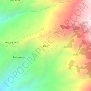
Nombre: Mapa topográfico Jashi, altitud, relieve.
Lugar: Jashi, Chillanes, Bolívar, Ecuador (-1.96867 -79.13004 -1.92867 -79.09004)
Altitud media: 1.886 m
Altitud mínima: 1.156 m
Altitud máxima: 2.728 m