
Gracias por apoyar a este sitio ❤️
Haz una donación
Haz una donación
Mapa topográfico Rancamanyar
Haga clic en el mapa para ver la altitud.
Gracias por apoyar a este sitio ❤️
Haz una donación
Haz una donación
Acerca de este mapa
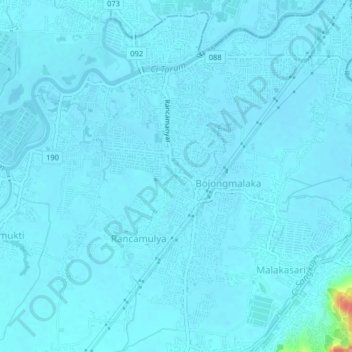
Nombre: Mapa topográfico Rancamanyar, altitud, relieve.
Altitud media: 664 m
Altitud mínima: 658 m
Altitud máxima: 763 m
Gracias por apoyar a este sitio ❤️
Haz una donación
Haz una donación
Otros mapas topográficos
Haga clic en un mapa para ver su topografía, su altitud y su relieve.
Kolam Retensi Cieunteung
Indonesia > West Java > Kabupaten Bandung > Baleendah > Citeureup
Altitud media: 663 m
Gracias por apoyar a este sitio ❤️
Haz una donación
Haz una donación
Patenggang Lake
Indonesia > West Java > Kabupaten Bandung > Rancabali > Bauan
Patenggang Lake (Indonesian: Situ Patenggang) is a lake located in the area of natural tourist attractions in the southern Bandung City, West Java, Indonesia, to be exact it is in Ciwidey village. Located at an altitude of 1600 meters above sea level, this lake has a very exotic landscape. The lake is spread…
Altitud media: 1.715 m
Gracias por apoyar a este sitio ❤️
Haz una donación
Haz una donación