
Mapa topográfico Glen Canyon Dam
Mapa interactivo
Haga clic en el mapa para ver la altitud.
Acerca de este mapa
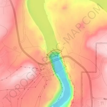
Nombre: Mapa topográfico Glen Canyon Dam, altitud, relieve.
Lugar: Glen Canyon Dam, Coconino County, Arizona, United States (36.93605 -111.48620 36.93809 -111.48161)
Altitud media: 1.171 m
Altitud mínima: 949 m
Altitud máxima: 1.265 m
The Bureau of Reclamation favored the Echo Park site over Glen Canyon, because its narrow canyons and high elevation (more than 5,000 feet (1,500 m), as compared to 3,700 feet (1,100 m) at Glen Canyon) would lead to less evaporation. It said that building Echo Park Dam and a "low" Glen Canyon Dam would save 165 thousand acre-feet (0.204 km3) of water per year over a "high" Glen Canyon Dam (which was ultimately the version to be built). While studying the figures, Brower discovered that the difference should be no more than 19 thousand acre-feet (0.023 km3). Although it is unclear whether the discrepancy was due to a miscalculation or intentional manipulation, Brower said "it would be a great mistake when they cannot add, subtract, multiply and divide."