
Mapa topográfico Umgransele
Mapa interactivo
Haga clic en el mapa para ver la altitud.
Acerca de este mapa
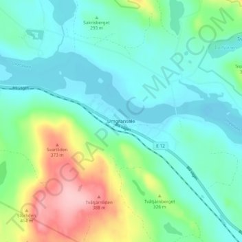
Nombre: Mapa topográfico Umgransele, altitud, relieve.
Lugar: Umgransele, Lycksele kommun, Västerbotten County, Sweden (64.67831 18.35721 64.71831 18.39721)
Altitud media: 287 m
Altitud mínima: 248 m
Altitud máxima: 398 m